Description:
This example shows the use of surface merging techniques based on adaptive voxelizations followed by iso-surface extraction to construct geometrical models corresponding to groups of buildings on top of a terrain. These models are then used to generate finite element grids in order to conduct CFD calculations of contaminant transport. The main idea of the algorithm is to create a background grid (voxelization) that covers the entire computational domain. A uniform voxelization is first created and the hexahedra are then splitted into tetrahedral elements. The shortest distance of each point in the background grid to the surface of the objects is the computed. A positive sign is assigned to points liying outside the objects and a negative sign to points inside. The desicion whether a point is inside or outside is based on the surface normal at the closest location on the surface. The merged surface is then recovered by extracting the iso-surface of distance=0. If desired, the background grid is refined close to the surface in order to increase the resolution of the final triangulation. In certain cases, it is desirable to preserve some features of the initial triangulations. In these cases, once the features have been detected (edges shared by elements with substantial deviation of their unit normals) points along these features are introduced in the background grid using a delauney triangulation algorithm.
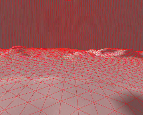
This example illustrates the procedures in a case of merging a terrain and several buildings. The following image shows the triangulation of the terrain.

The next image shows the triangulation of the buildings on top of the terrain.
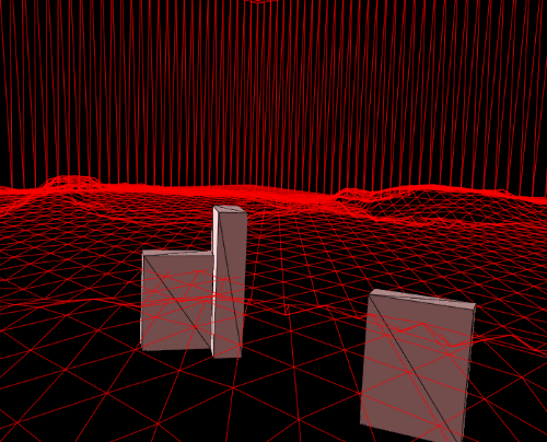
The next figure shows a supperposition of the terrain and the buildings (no merging here, just a visual supperposition).
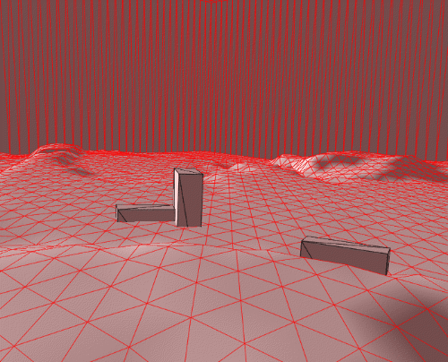
The merged surface is shown in the next image.
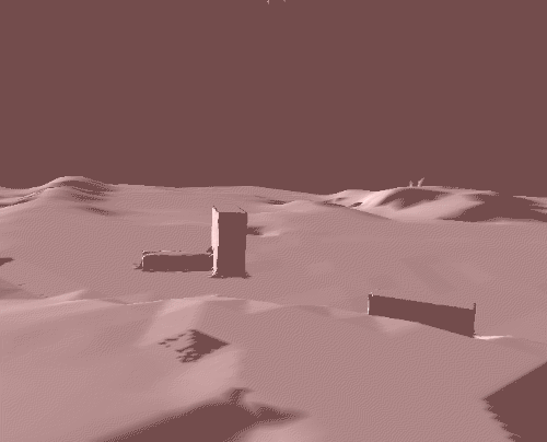
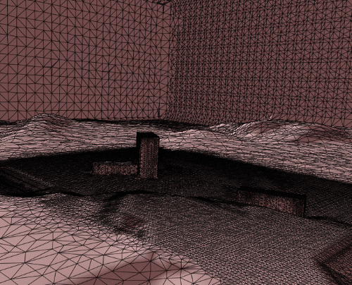
The surface triangulation of the merged model is shown below. Two levels of refinement of the background grid have been used close to the buildings.
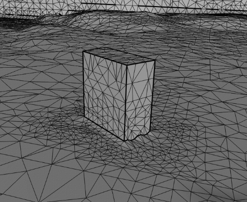
Finally, the next figure shows that introducing points on detected features (in this case the sides of the building) forces the algorithm to preserve these features in the merged model. In this case only one building is shown.
Observations: